© Foto: AlterVista; Lizenz: CC BY-SA 3.0
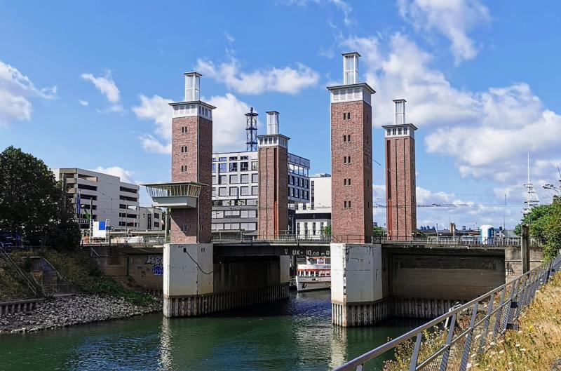
Moerser Str., 47198 Duisburg
1934 / 1950
- keine Angabe -
Advanced search with more criteria
Total projects: 483
47051 Duisburg
Distance: 2.45 km
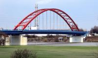
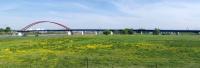
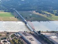
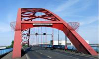
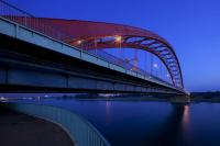
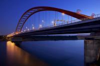
The four-lane car bridge built in 1934 at a span of 256m is the largest arch bridge across the River Rhine. It connects Rheinhausen and Duisburg-Hochfeld (formerly Admiral-Graf-Spee-Brücke). The entire costs amounted to almost 7m reichsmark.
In order to stop the Allies, in 1945 German soldiers blew up the bridge. In 1950, the now three-lane bridge was re-commissioned.
It has now been a few years that the lanes can be individually controlled by traffic lights. The bridge is 460m long, 8m high and has a main field width of 256m.
In 1988, striking Krupp workers renamed the bridge “Brücke der Solidarität“ (bridge of solidarity).
Author: Editorial baukunst-nrw
Text last changed on 24.07.2025
Categories:
Engineering » Transportation